Welcome!
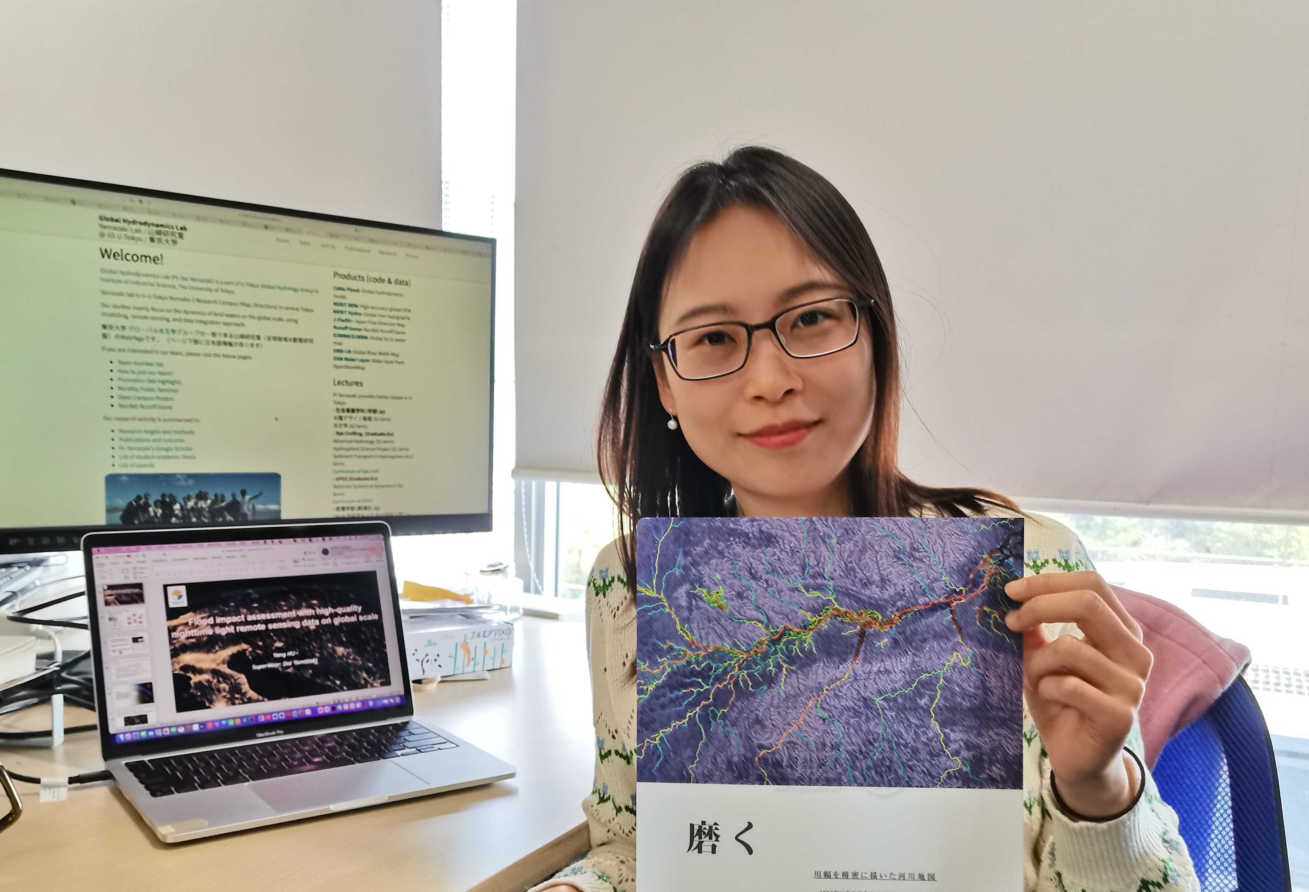
Currently, I am working as a postdoctoral researcher at the Global Hydrodynamics Lab, Institute of Industrial Science, The University of Tokyo.
Research Interests
My research interests lie in the field of climate change extreme (e.g. flooding) impact on human society, using geospatial datasets, especially remote sensing data such as Nighttime Light (NTL) data. My prior research has corrected the uncertainties of the daily nighttime light remote sensing product to improve its detectability of disaster impact signals. Based on this, I endeavored to evaluate the societal impact of floods and subsequent economic losses using NTL data on a global scale. Results from this first attempt and innovative approach showed its uniqueness and superiority compared with conventional inundation mapping-based impact evaluation. The approach can also be extended to evaluate the impact of other climate change extremes such as hurricanes, heatwaves, earthquakes etc. Moreover, it holds promise in reflecting local vulnerability and resilience to hazards. The recovery process after disasters can also be captured. By combining hazard properties and other geospatial datasets, a more comprehensive analysis of climate change impact variation and its mechanism can be further explored.

Research collaboration
We have the high-quality daily nighttime light remote sensing dataset with ~500m spatial resolution from 2012 till current. Relevant paper is here.
We can provide either the code for data generation or the data directly.
Please feel free to contact me at yanghu0724@gmail.com for further collaboration.
Source codes
High-quality Nighttime Light Remote Sensing Data: Processed daily Nighttime light data globallyNews (Twitter)
If the News cannot be seen here. Please kindly visit my Twitter @YangHu.
Tweets by Yang Hu